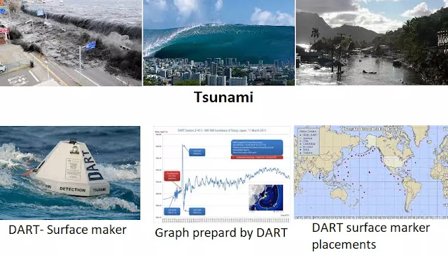
What is a tsunami? How DART helps in accurate forecasting of tsunami?
A tsunami is a Japanese word meaning ‘harbor waves’, it is caused when an earthquake hits the ocean floor, or there is a divergence of tectonic plates and a volcanic eruption occurs.
How come the ships sail so smoothly in mid-sea? This is because of the following reasons:
- Wavelength: the wavelength of the waves produced by the earthquake are very long in mid-sea, that is around 20 kilometers, whereas when it reaches the coastline it gets compressed to only 10 kilometers.
- Amplitude: (it resembles the height of the crest from the abscissas on a cartesian plane). The amplitude of the waves in the mid-sea is as low as 1 meter, whereas on reaching the coast it reaches a height of around 30 meters.
- Speed: as water is fluid so the wave’s speed is very high there its around 700 kilometers an hour which is 200 m/sec. And as it hits the rigid coastline the speed decreases to 55 kilometers an hour.
Deep-ocean Assessment and Reporting of Tsunami often abbreviated as DART is a tsunami forecasting mechanism first introduced in August 2000. It has two parts, one that floats on the ocean surface and the other is the ground station.
- The surface marker of the DART notes the changes in temperature and pressure of the seafloor and sends it via satellite to the ground station.
- The ground station analyses the report and predicts the intensity of the tsunami 8 hours prior to the event.
The DART functioning is a two-way communication process, it has two controllable modes.
- Standard mode: it sends the recorded data to the ground station every 15 minutes.
- Event mode: it sends the recorded data every 15 seconds to the ground station.
In India DART's surface marker is set in the Andaman and Nicobar region and its ground station is situated in Hyderabad, Telangana.
Tags:
Geography

